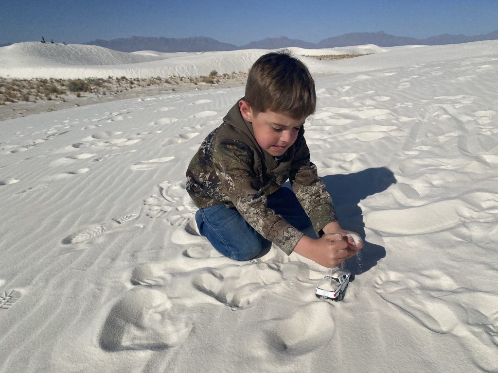
While my kids love playing at the beach and in sandboxes, our sledding adventure at the Great Sand Dunes NP in 2020 left a little too much sand in the shoes… and eyes… and mouths. But they do love Junior Ranger badges, so they decided to humor me on the last day of our 2700-mile Spring Break road trip with a stop at White Sands National Park.
Lay of the Land
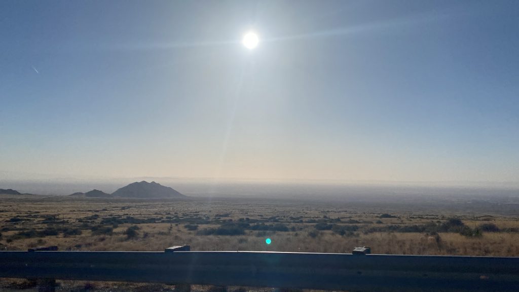
Once over the Organ Mountains on the eastern side of Las Cruces, it’s easy to see why the US government used this flat expanse in top secret missile and nuclear testing for decades. The western side of the White Sands National Park is shared with the Hollman AFB as the White Sands Missile Range and is regularly shut down to tourists for missile tests.
If you didn’t visit the park website to scope out the map prior to paying at the fee station you might feel a little underwhelmed at first. The initial dunes are small and covered more plants than you tend to see in “gram” worthy photos. As you drive west through the park, the dunes grow larger and the plants grow more sparse. Dune Life Nature trail, Playa trail and Interdune Board walk are short, easy walks that highlight the life of the park near the entry.
I highly recommend grabbing a Junior Ranger book, even if you’re not a kid, because they do a really fabulous job of highlighting the history and life of the region. We found the bigger dunes father into the park near the back country camping area to go exploring. If you have a little more time and are up for a longer hike, the dirt road ends at the Alkali Flat trail, which at 5mi is the longest in the park.
Science alert: Why are these dunes so special?
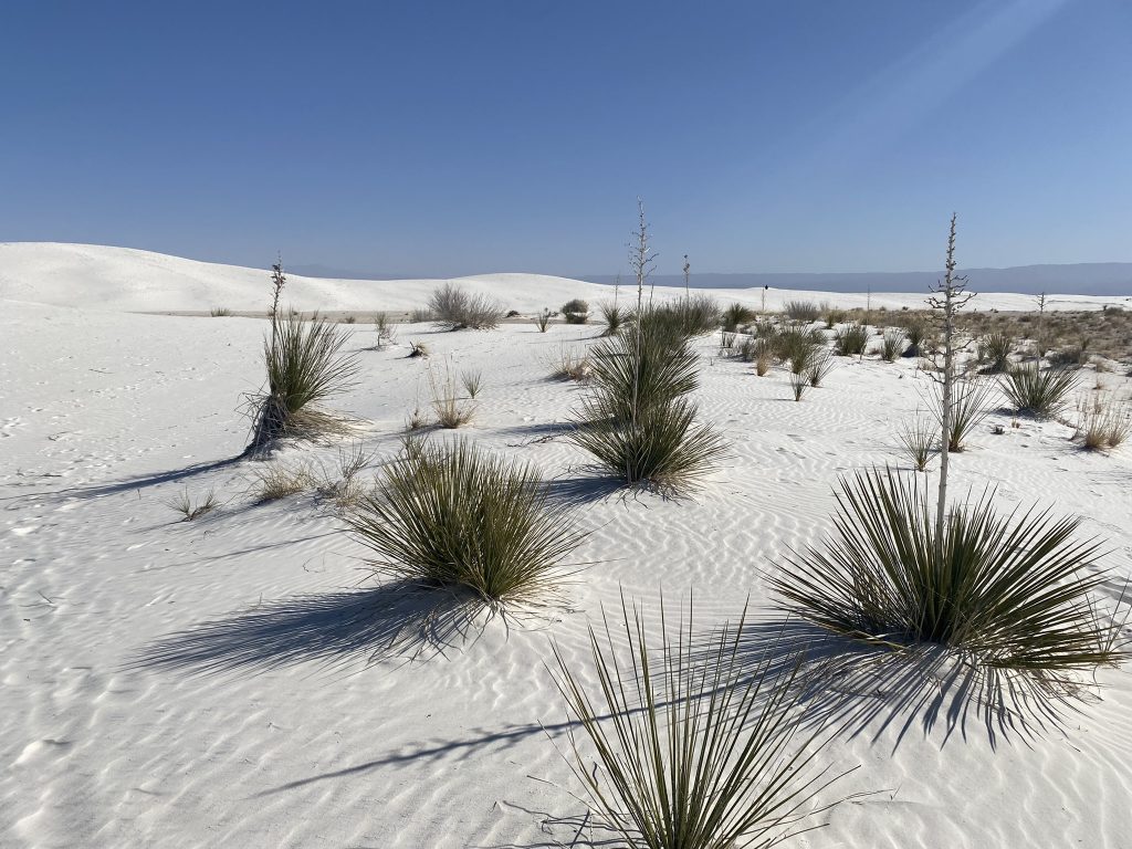
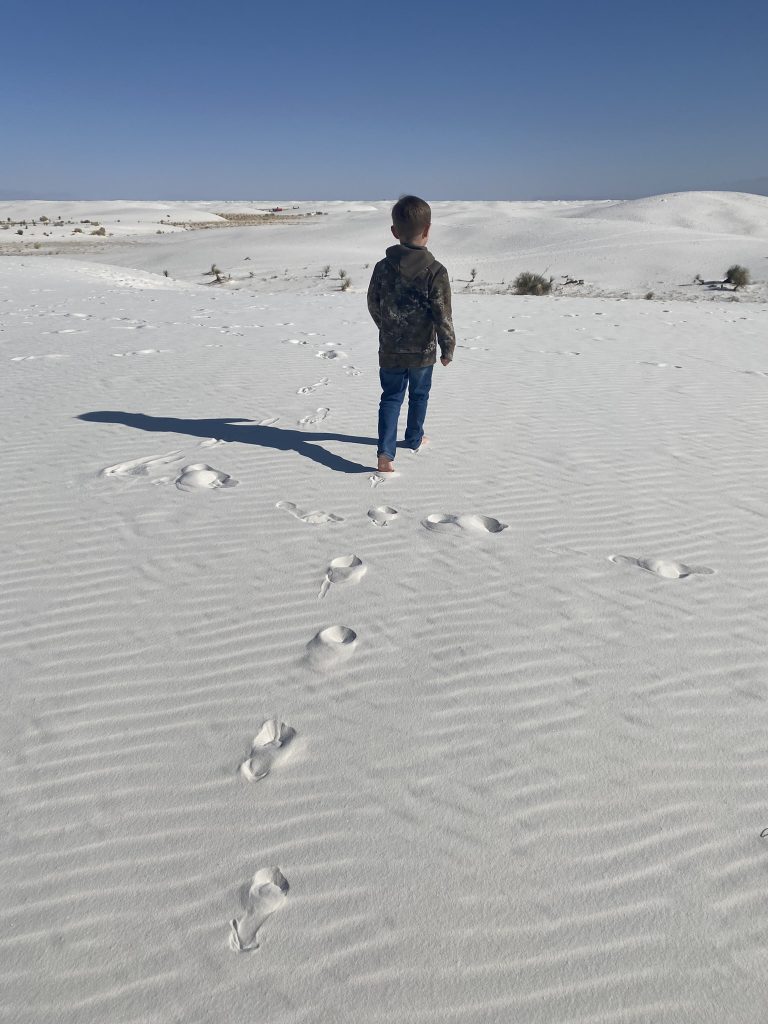
Our first inclination when we got out of the car was to reach down and touch the sand. We were all so amazed by how fine and cool it was and Bo instantly kicked off his shoes. The beautiful white gypsum was deposited over 250 million years ago when the area was a shallow seashore of Pangaea. As the sea life was buried and became petroleum, it released hydrogen sulfide which reacted with the limestone reefs in the surrounding mountains to form the gypsum. Not only is gypsum found all over this valley it’s in nearby Carlsbad Caverns as well.
Over the ensuing years, plate tectonics created this basin where runoff with dissolved gypsum collected into a giant lakebed. After the last ice age, the large Lake Otero dried up as the region became the Chihuahuan desert. Wind erosion began to roll the sediments from the lakebed around into smaller pieces. On the western edge of the park, small Lake Lucero fills seasonally with runoff that carries more gypsum from nearby mountains. Then wind erosion continues to build the largest gypsum sand dunes in the world at over 275 sq. miles!
Ways to Enjoy the White Sand
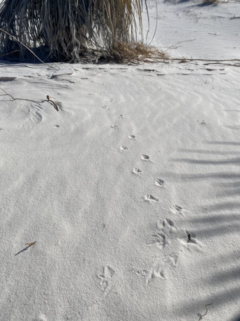
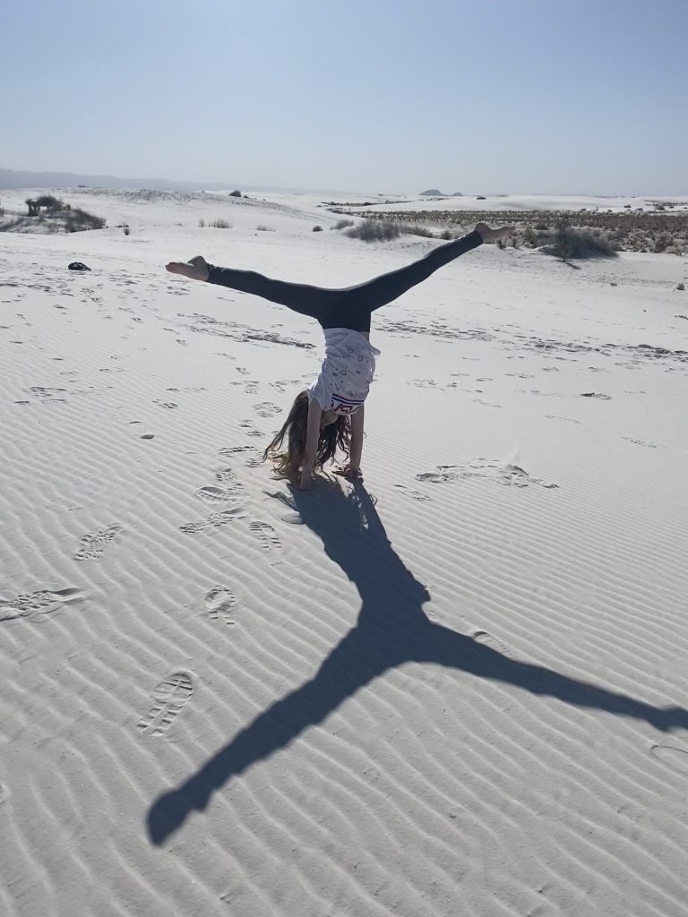
Because the gypsum sand is so fine, walking here is much easier than a trip to the beach and you can make some pretty cool art. We also had a good time spotting animal tracks, then making track art for the other family members to guess the identity.
If you like to take photos, I’d recommend going early or late to take advantage of the contrast of shadows on the glistening sand. Sunset snaps are a fixture on social media feeds, but the timelines just didn’t line up for us this visit.
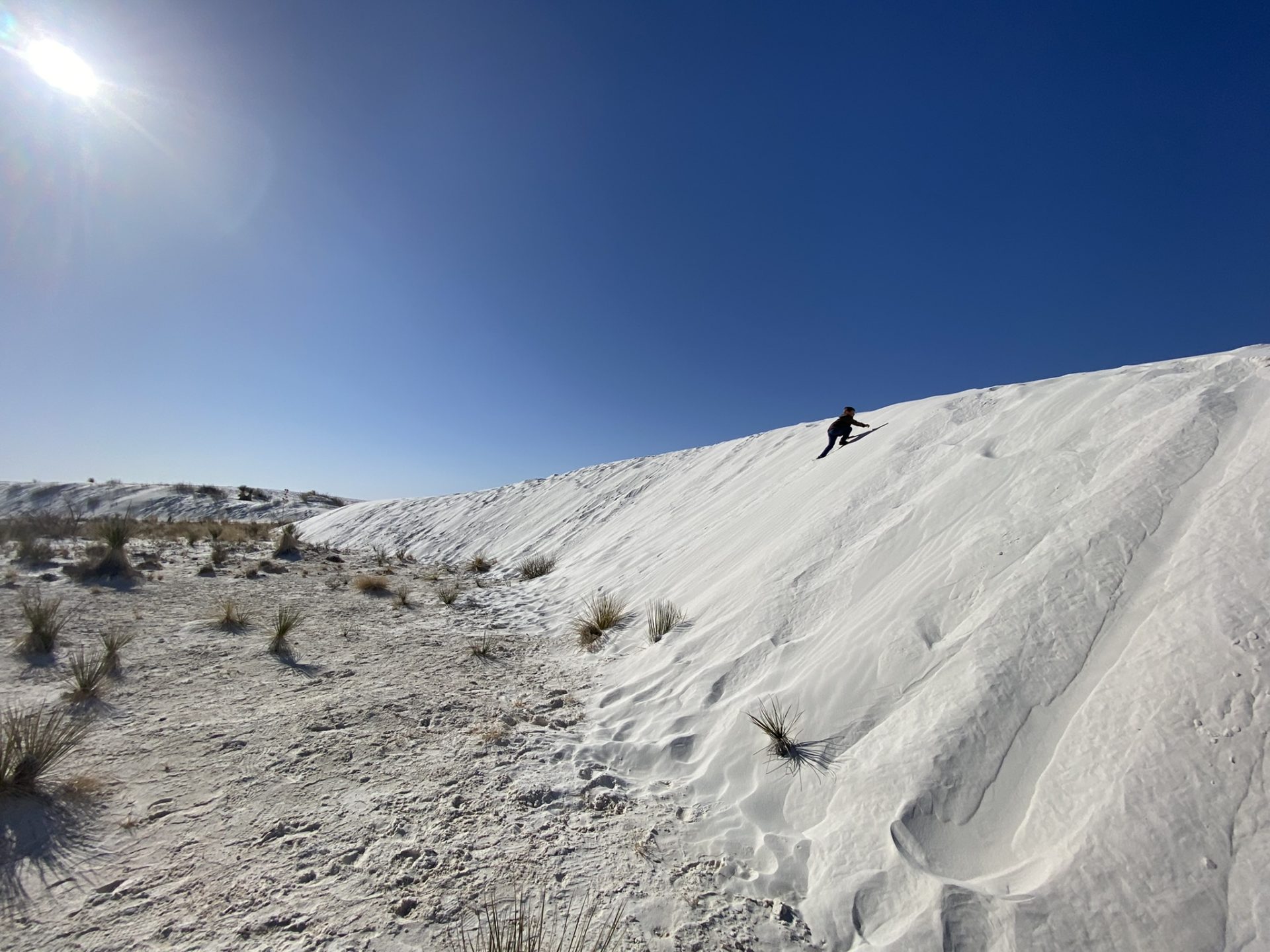
Because of our previously mentioned experience with sand sledding, we opted not to grab sleds from the visitor’s center before rolling into the park. I should have known better though, because we all had a bit of FOMO hearing other visitors squealing with joy while sliding down the dunes. My advice: give it a whirl and don’t forget the wax! Wear some sunglasses and bust out a mask if worried about sand in your face holes.

More to do…
The park was beautiful, but I’m not sure I’d drive all the way to desolate southwestern New Mexico without adding in a few more sights. Here’s some suggestions:
- If you love World’s Largest things, you can’t miss Pistachioland (22mi) or the World’s Largest Chili Pepper in Las Cruces (53mi).
- National Park enthusiasts like us often lump Carlsbad Caverns (234mi) and Guadalupe Mountains (192mi) into their trip as we did. But be prepared… the driving distances are a lot longer than they look. At only 35 miles apart, once you’re on the other side of the mountain range they’re easy to see together.
- The nearest city is Alamogordo with plenty of hotels, RV parks and a cute downtown full of restaurants (16mi)
- Since we’ve been to two NASA sites in the last year, the kids weren’t super interested in stopping at another space museum. However, the Museum of Space History in Alamogordo, White Sands Missile Range Museum between Las Cruces and White Sands NP are highly rated.
- Just south of Las Cruces is a neat little town called Mesilla, a charming taste of the southwest. At a crossroads of stagecoach trails, it was once the largest city between San Antonio and San Diego. Its growth was stunted when Las Cruces was chosen for the railroad line in 1881. (60mi)
- Cloudcroft in the Sacramento Mountains to the east of the valley is the ski destination for the area in the winter. It’s also a beautiful mountain town full of restaurants along with hiking and camping opportunities in the summer. (35mi)
Did we miss anything else? Tell us about your adventures:)
Leave a reply